New Mexico is 2nd only to Arizona in days of sunshine per year. The climate is dry and extreme weather conditions are rare. Elevations in the state range from 2,817 ft. at Red Bluff Lake in the southern Rio Grande Valley to 13,161 ft. on Wheeler Peak in north central New Mexico. While New Mexico is considered a southern state in terms of latitude, bordering Texas and Arizona to the east and west, and Mexico to the south, its elevation provides for 4 seasons throughout the state.
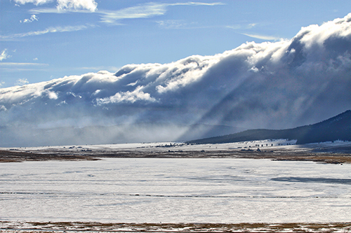
The normal weather patterns call for warm to hot days and cool nights with scattered thundershowers in the summer and cold nights and moderate days with some snow in the winter. Fall and spring can bring some of the most gorgeous weather, with spring being the most unpredictable.
Geography
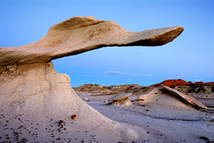
The land area of New Mexico is 121,365 square miles. It is the 5th largest state in the union. The diverse landscape includes deeply forested mountains to the vast desert of White Sands National Monument. In fact, 6 of the 7 life zones found in the world exist in New Mexico. These life zones are classified by vegetation types and vary by altitude and orientation to the sun.
New Mexico has 3 topographic zones. The Rocky Mountain zone extends through the north central section of New Mexico. The plains extend from the eastern border west to the first range of the mountains that extends from the Sangre de Cristos south to the Guadalupe Mountains. The intermountain plateau includes the remainder of the state.
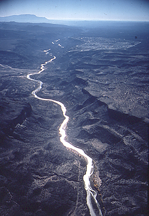
Mountains are New Mexico’s most memorable natural characteristic. They are present in or visible from all but a few counties on the extreme eastern border, and they impact the climate and provide a watershed for most of the state. Above timberline, year-round snow peaks exist in every quadrant of the state. New Mexico mountain ranges include the Sangre de Cristo, Jemez, Brazos, Mogollon, San Juan, Zuni, San Mateo, Datil, Gallinas, Jicarilla, Capitan, White, Sacramento, Guadalupe, Sandia, Manzanos, Pinos, Oscuras, San Andres, Organ, Fra Cristobal, Caballo, and Magdalena.
Plains still cover the largest percentage of the state’s topography. The Great Plains proper reach one-third of the way across New Mexico. Geographers distinguish 2 sections of the plains: the lava-capped uplands of the northeast corner and the Llano Estacado (“staked plains”). The Llano Estacado is bounded roughly by Interstate 40, the Pecos River and a line joining Roswell and Hobbs. Other areas of plains include the southern desert region extending from Las Cruces to Lordsburg, the northwest plateau area, and various basins. These areas are sometimes referred to as valleys and include the Tularosa and Estancia valleys and the Plains of San Agustin.